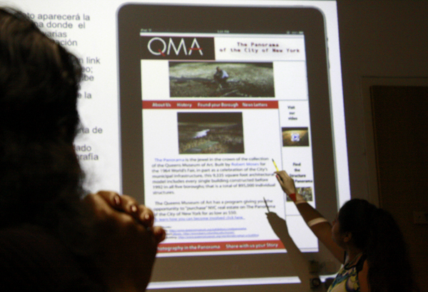
ESOL Class 4; More on Geotagging Options

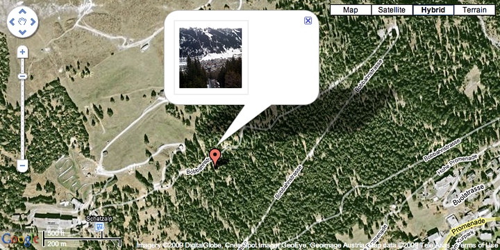
Geotagging (also written as GeoTagging) is the process of adding geographical identification metadata to various media such as a geotagged photograph or video, websites, SMS messages, QR Codes[1] or RSS feeds and is a form of geospatial metadata. This data usually consists of latitude and longitude coordinates, though they can also … Continue reading ESOL Class 4; More on Geotagging Options

ESOL Class 3; Creating Your Own Map, Adding Multimedia

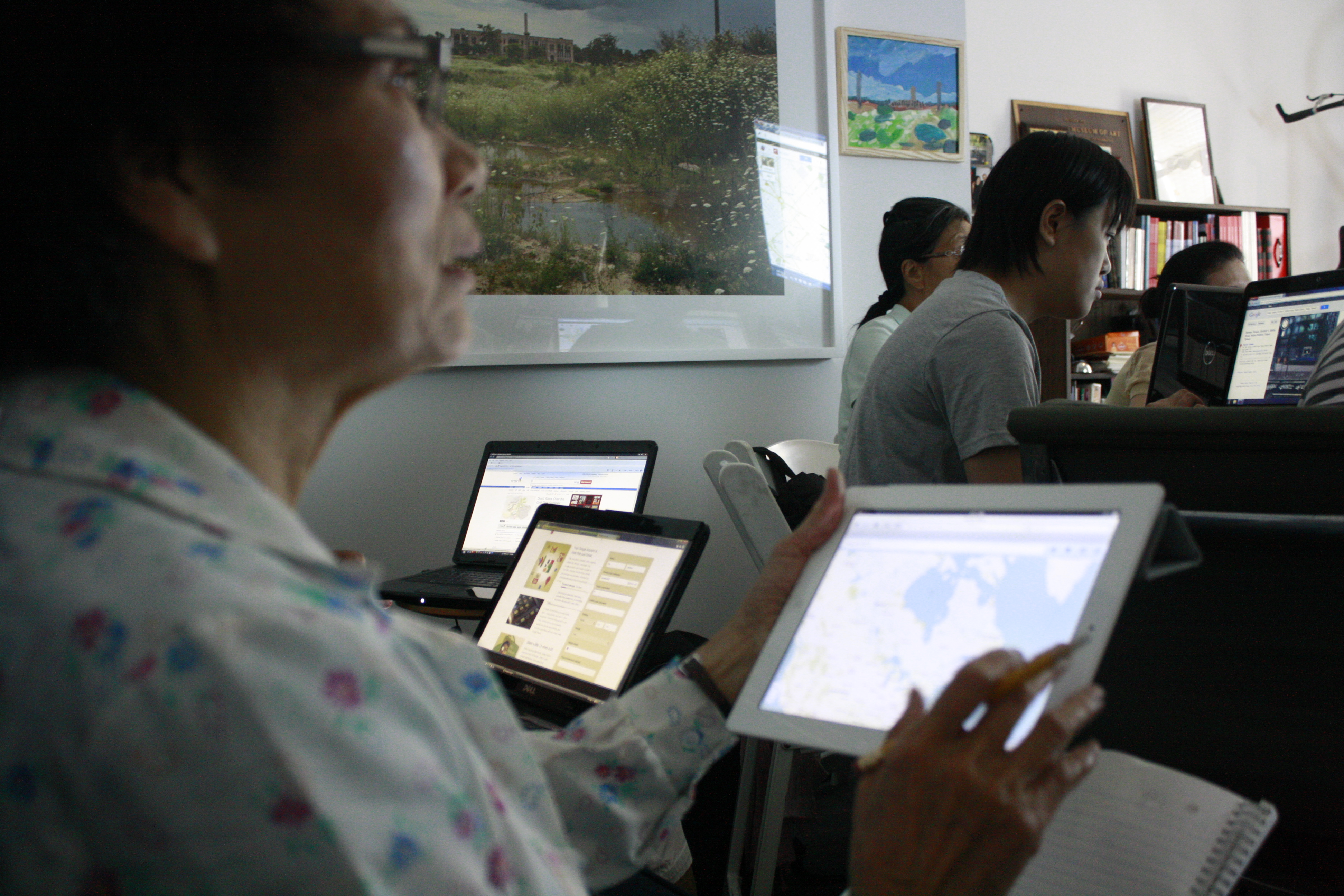
1. America Revealed http://www.dailymail.co.uk/news/article-2161488/Secret-corpse-flights-pizza-boy-delivery-routes-daily-commute-Stunning-aerial-images-reveal-seen-America.html   Links to the tutorial documents 1. Creating your own maps in Google Maps] 2. Adding photos to your placemark 3. Embedding videos on your placemark In-class Exercise  1. How did you come to QMA today? … Continue reading ESOL Class 3; Creating Your Own Map, Adding Multimedia

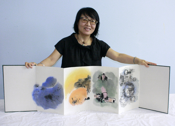
한국 전통책 만들기-수업8 – 마지막

준비된 작품을 표지에 붙이기 (Week 8: Attaching the Prepared Artwork to Hardcover) 준비한 종이틀을 이용하여 합판의 가장자리 1센티미터 정도에만 풀을 칠해준 후, 준비된 작품을 화첩의 양쪽 표지에 붙여줍니다. (Adhere a prepared artwork onto a prepared hardcover using special technique) 작품이 … Continue reading 한국 전통책 만들기-수업8 – 마지막

Arts and Education Space for Immigrant New Yorkers